









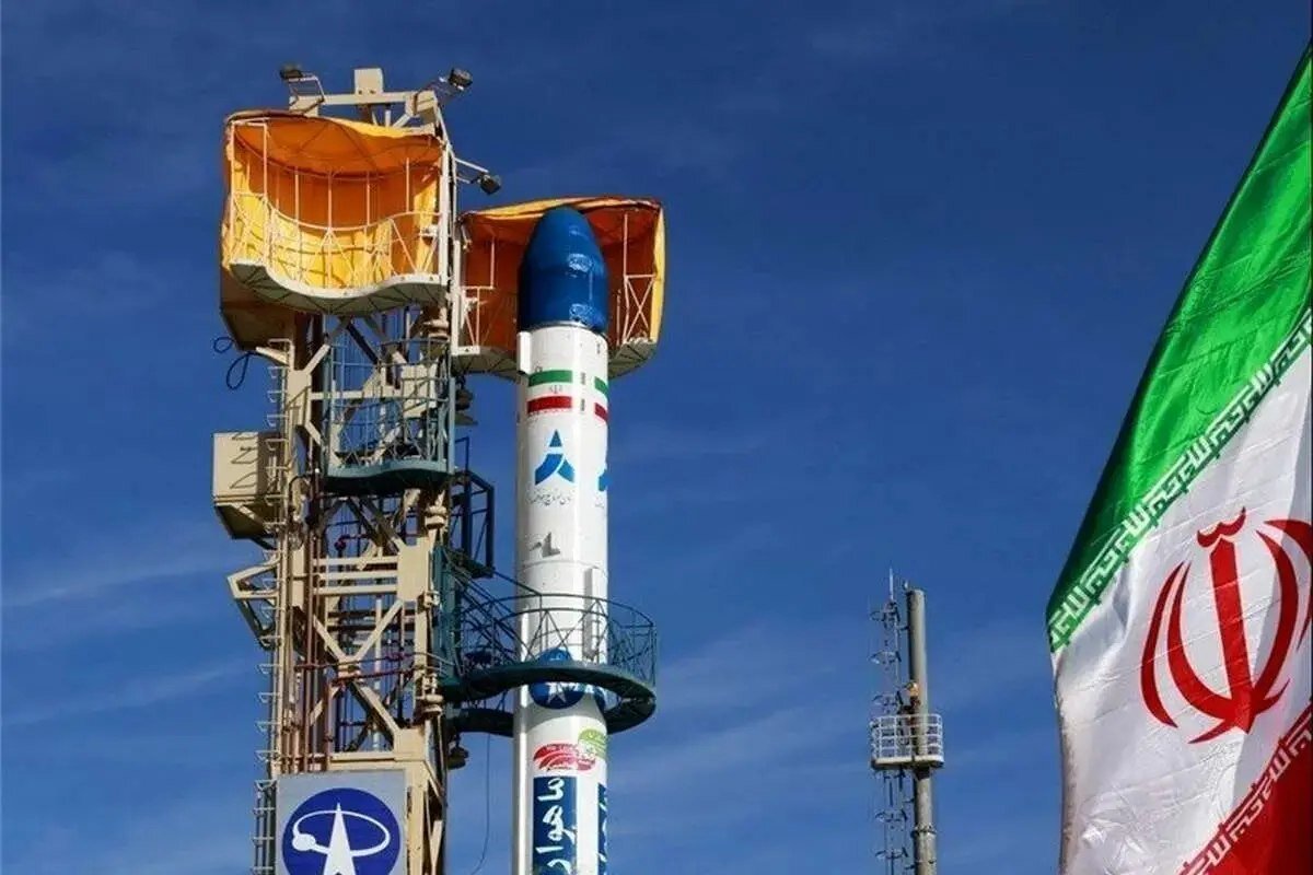
TEHRAN – Iran is currently building more than 35 new satellites, including a 24-satellite communications constellation, as the country pushes to expand its indigenous space capabilities from manufacturing and launch to data-driven services, head of the Iranian Space Agency (ISA) Hassan Salariyeh has announced.
Salariyeh, who also serves as deputy minister of communications and information technology, made the remarks on Sunday on the sidelines of the third Omid Media Cup in Tehran, in comments carried by IRNA.
According to Salariyeh, three models of the Shahid Soleimani constellation — the country’s first major low Earth orbit (LEO) communications constellation in its first phase comprising 24 satellites — will be unveiled during the Ten-Day Fajr ceremonies in February, marking the anniversary of the Islamic Revolution.
35 satellites under construction nationwide
Salariyeh said the 35 satellites under development cover a wide range, from high-resolution imaging and radar satellites to telecommunications satellites, built by state institutions, universities and private firms under the overall management, policymaking and regulation of the ISA within the Ministry of Communications and Information Technology.
In addition to the Shahid Soleimani system, imaging satellites with one-meter resolution and better, as well as radar imaging satellites, are on the production line, alongside other projects in both governmental and private sectors.
Radar satellites, he noted, use radar technology to image the Earth’s surface independently of weather conditions, cloud cover, snow and other obstructions.
From mines to weather: why imaging data matters
A central part of Salariyeh’s remarks was devoted to applications, underscoring that the space program is not symbolic but deeply tied to economic and environmental management.
Satellite imagery, he said, is among the most important tools for mineral exploration and estimating extraction, for monitoring the environment, identifying dust storm centers and environmental pollutants, and for meteorology — assessing atmospheric conditions, cloudiness and wind to forecast weather in the coming days.
Monitoring water resources and reserves, including snowpack in mountains, dams and lakes, is another key application. A satellite in a 500-kilometer orbit travels at about 7.5 kilometers per second, Salariyeh explained, adding that no other vehicle can scan the Earth’s surface and collect data so quickly, making imaging data one of the most important tools for land monitoring and management.
Complementary constellations for communications and navigation
Alongside sensing satellites, Salariyeh highlighted the growing role of telecommunications satellites, especially in areas with no terrestrial infrastructure or difficult access — including shipping, air and rail lines, hard-to-reach regions, and as backup for ground networks.
These operate at different altitudes, from geostationary (GEO) satellites at about 36,000 kilometers to large LEO constellations providing broadband connectivity. Satellite communications, expanding rapidly worldwide without need for extensive ground infrastructure, are a key infrastructure of the digital economy, he said.
Navigation satellites for mapping and routing in aviation and shipping, he added, are another pillar, at a time when the number of satellites in orbit has grown rapidly and spacefaring countries are continuously expanding their space assets.
Iran, he said, has made significant progress not only in building and launching satellites but in exploiting satellite data and turning it into applied services. After reception, images and data are delivered to private and specialized remote-sensing firms for processing into value-added reports for urban management, water and mines.
More than 170 to 180 private companies are now active in satellite-data-based remote sensing in Iran, many with capacity to provide services at international level — a sign, Salariyeh said, of the growth and maturity of the country’s space ecosystem.
Simorgh, Qaem and the road to heavier launchers
On access to space, Salariyeh said the Armed Forces — including the Defense Ministry and the Aerospace Force of the Islamic Revolution Guards Corps — are developing various launchers and satellite carriers.
The Simorgh launcher, he said, can place 200- to 300-kilogram satellites into low Earth orbit at altitudes of up to about 1,000 kilometers, while the solid-fuel Qaem launcher, developed by the IRGC Aerospace Force, can carry payloads of up to 100 kilograms to around 500 kilometers.
Heavier launchers capable of placing multi-ton payloads into LEO and later into GEO orbit at 36,000 kilometers are under research and development.
From Omid to Noor: background of an indigenous program
The announcement builds on nearly two decades of indigenous effort. Iran became one of the few countries with domestic orbital launch capability when it placed the Omid satellite into orbit aboard the Safir launcher in February 2009, followed by Rasad, Navid and Fajr.
In recent years the program has accelerated on two tracks. The civilian track, centered on the ISA and the Defense Ministry, has produced the Simorgh, Zoljanah and Saman transfer block, and satellites such as Pars-1, Chamran-1, Khayyam — launched in cooperation with Russia in 2022 — and the Soraya satellite placed in a 750-kilometer orbit.
In parallel, the IRGC’s military track has orbited the Noor-1, Noor-2 and Noor-3 imaging satellites aboard the solid-fuel Qased and Qaem-100 launchers, giving Iran independent reconnaissance and communications capacity.
Space, Salariyeh stressed, is among the world’s most complex and high-risk industries and a marker of a country’s technological level. Of about 200 countries in the world, only 10 to 11 can build launchers — Iran is one of them — and only about 20 to 30 can build operational satellites that remain in orbit and continuously provide images and data, a club Iran has also joined.